 AI-generated analysis published under the editorial responsibility of Rohit Sinnas. How it works →
Press quoted
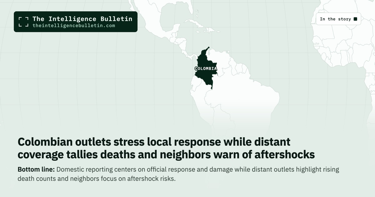
Domestic reporting centers on official response and damage while distant outlets highlight rising death counts and neighbors focus on aftershock risks.
Colombian domestic coverage leads with precise epicenter confirmation from the national geological service and immediate government actions such as the president’s emergency command post and travel to affected areas, while also noting structural damage in Manizales and Chocó. Ecuadorian reporting, written from a neighboring vantage, instead emphasizes the sequence of aftershocks and the ongoing risk of further tremors up to magnitude 6 in coming days. UK live updates focus on real-time social-media footage of evacuations and partial cathedral collapse without awaiting official tallies. Turkish coverage, relying on agency material, advances the highest casualty estimate so far at more than 80 deaths across multiple departments. Scientific American alone supplies tectonic context, identifying the event as Colombia’s largest in a decade and contrasting its intermediate depth with the shallower Venezuelan quakes of June that produced far higher fatalities. These choices reflect each outlet’s distance from the event and its audience priorities rather than conflicting facts on the ground.
Full analysis
A magnitude 7.4 earthquake struck at 7:34 a.m. local time on August 10, 2026, with its epicenter five kilometers east of San José del Palmar in Colombia’s Chocó department. The Colombian Geological Service placed the depth at 96 kilometers; the U.S. Geological Survey recorded 107 kilometers. The tremor was felt across western and central Colombia, including Bogotá, Medellín, Manizales, Ibagué, Armenia, Cali and Cúcuta, and reached parts of Ecuador, Venezuela and Panama.
In the hours after the main shock, the Colombian Geological Service recorded a 4.8 aftershock at 8:18 a.m. at a slightly shallower depth of 88 kilometers. Neighboring Ecuadorian reporting noted that the tectonic plates involved—Nazca and South American—were undergoing rapid readjustment along the San José del Palmar fault, producing a sequence that could continue for days or weeks. A science-focused account placed the event on a strike-slip fault within the subducting Nazca plate, where stress had built internally rather than at the plate boundary itself. The same account observed that a comparable quake occurred in the same region in 1979, indicating a recurring process at that location.
President Abelardo de la Espriella ordered a Puesto de Mando Unificado to coordinate emergency response and traveled toward Pereira. Vice President José Manuel Restrepo was already in an early meeting in his office. The governor of Chocó, Nubia Carolina Córdoba, reported injured people and severe damage to buildings, with firefighters noting four people trapped. In Manizales, videos showed bricks littering streets, structural damage to buildings, and a portion of the spire on the Catedral Basílica Metropolitana breaking away. Cali recorded more than twenty collapsed buildings, some with people believed trapped inside. Quibdó saw panic and further damage during aftershocks. The mayor of Bogotá directed the city’s risk-management institute to conduct a full sweep of localities, though no injuries were reported there at first. Power, telephone and other services were disrupted in several areas.
International offers followed quickly. Israel’s foreign minister stated that his country stood ready to provide whatever assistance Colombia required. Mexico’s president said her government was monitoring developments through its embassies and would make help available. The United States indicated it continued to track the situation.
The same seismic event produced sharply different emphases once the initial facts left Colombia. Colombian domestic reporting stayed close to the national geological service’s bulletins and the government’s immediate operational steps, naming specific sites of damage and the officials directing the response. Ecuadorian coverage, written from the perspective of a neighbor that had also felt the shaking, centered on the mechanics of aftershock sequences and the statistical likelihood of stronger follow-on events reaching magnitude 5.5 to 6.2 in the days ahead. A United Kingdom live blog tracked real-time social-media clips of evacuations in Medellín and the partial cathedral failure in Manizales, updating as new videos appeared. Turkish reporting assembled agency accounts that placed the death toll above eighty, with forty-seven fatalities cited in Pereira, twenty-seven in Valle del Cauca and smaller numbers in Chocó and Manizales. A United States science publication supplied the only sustained comparison to the pair of 7.2- and 7.5-magnitude quakes that struck Venezuela in late June, noting that those earlier events occurred at shallow depths and produced far more concentrated destruction.
A reader limited to any single national press would therefore carry away a different sense of urgency and scale. One account would foreground the Colombian government’s coordination mechanisms and the precise locations of structural harm. Another would stress the continuing seismic hazard rather than the damage already done. A third would convey the event through successive images of people leaving buildings and debris falling. A fourth would present a consolidated casualty figure that no other source in the set corroborated at that level. A fifth would locate the quake inside a longer tectonic pattern and explain why an event of this magnitude produced moderate rather than catastrophic surface effects over a wide area.
The accounts converge on the core physical parameters: magnitude, epicenter coordinates, approximate depth, and the occurrence of at least one sizable aftershock within the first hour. They also agree that damage and injuries occurred at several named sites and that the shaking crossed international borders. They diverge on the human cost. Only one source advanced a death toll above eighty; the remainder described injuries, trapped people and structural failures without supplying comparable fatality numbers. That single-source figure therefore stands apart from the rest of the reporting and cannot be reconciled with accounts that remained at the level of injuries and damage.
The scientific framing supplies the clearest warrant for preferring one line of coverage over others when the question is long-term significance rather than immediate casualty counts. The intermediate depth of the Colombian event, the strike-slip mechanism inside the Nazca plate, and the precedent of a similar quake in 1979 together indicate that the energy was distributed across a broader region and attenuated before reaching the surface in the most destructive way. That explanation aligns with the observed pattern of scattered building damage rather than wholesale urban destruction and with the fact that no tsunami warning was issued for the Pacific coast. It also accounts for why the June Venezuelan quakes, despite similar magnitudes, produced thousands of deaths while this event has not yet generated matching figures in the majority of reports.
What to Watch
What happens next will depend on how the aftershock sequence develops and how quickly local authorities can complete structural assessments. The Colombian government’s unified command post and the offers of external assistance establish the immediate operational frame. The recurrence noted in the scientific account suggests that the region has experienced comparable events before and will again, so the current episode tests preparedness rather than introducing an entirely new risk. Readers who track only casualty headlines will miss both the operational response already under way and the tectonic context that explains why the damage, while serious, has so far remained more limited than the raw magnitude might have implied.
That’s how the world told the story.
Get our daily open-source intelligence on world events in your inbox — one email a day, up to six stories.
Subscribe freeNo spam. One-click unsubscribe. See the latest email →